Last Updated on April 26, 2024
Croatia has become a very popular seaside destination recently. However, only few tourists visit the local mountains, which is a great pity. Croatian mountains are beautiful. The highest point of Croatia Dinara was named after the Dinaric Mountains, a 700-kilometer-long mountain range system that spans over almost all the countries of former Yugoslavia. The mountains are wonderful and offer amazing views. The hike to the highest point of Croatia isn’t an exception. To reach the peak isn’t a challenge technically but it can get very hot there so don’t forget to bring enough water. For more details and tips including my personal experience read my article below.
Important information for climbing Dinara
Short description of the ascent: Standard hike with no water on the way
Essential equipment: Standard hiking gear and a lot of water especially during hot summer months.
Best time to visit: Possible all year round
Fees or restrictions: No
Camping allowed: Yes
Nearest accommodation/food supply: Knin
Starting point: Glavaš
Height of the peak: 1,831 m
Hiking distance: 7.4 km (one way)
Time to ascend to Dinara: 2,5-4 hours up, 2-3 hours back
Elevation climbed: 1,237 m up (one way)
Water availability on the mountain: At elevation around 1,000 m there was a well with water but don't trust it. It can get dry during summer heat.
Difficulty level: *** (6 stars maximum)
Personal rating of the mountain: **** (6 stars maximum)
Beer on the peak: Karlovačko ** (6 stars maximum)
Description of the best route to Dinara (Sinjal)
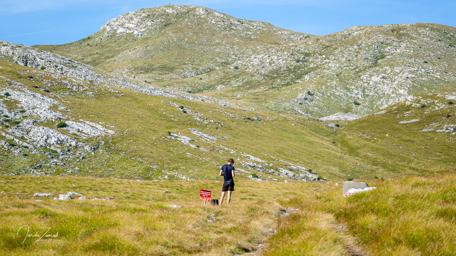
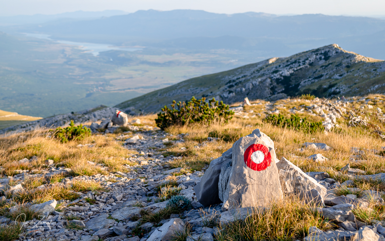
The easiest route and also the most popular one starts nearby the village Glavaš (see the map below). There is a small parking lot and a possibility to camp as well at the starting point. The route goes gently up along an old castle and it is well marked so you don’t have to worry about getting lost. I just recommend to follow the route to the left once you reach a small plateau with a crossroad. We went right to ring a bell in a small rock church on the way and the route ended soon after.
Map of the best route to Dinara (Sinjal)
My story of climbing Dinara with personal tips
I visited Dinara as a part of my project European Peaks during which I climbed the highest peak of every European country. This time I had hiking partners with me. My brother Štěpán and his friend Maruška decided to join me. We had all visited Croatia many times, like most Czechs, but we never visited the Croatian mountains. How was it?
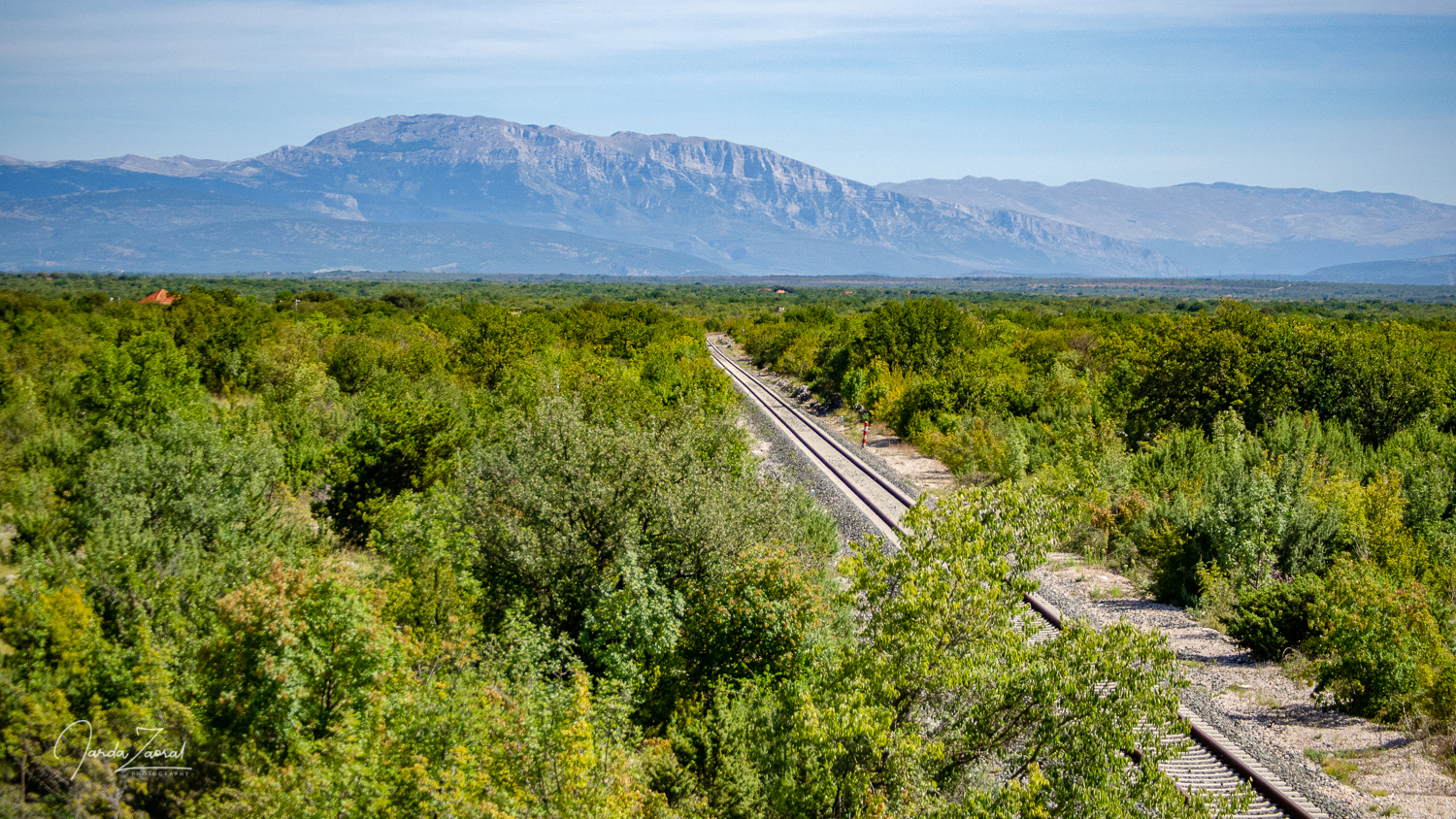
We arrived to the city of Knin which is known for the war between the Serbs and the Croats. Fortunately, the houses destroyed or damaged in the war have either disappeared or have been reconstructed and the town in the foothills of Dinara mountains became a nice touristic destination.
Bring a lot of water
We took a healthy lunch (a plate full of seafood) in Niš and drove to the starting point of our hike which is nearby the small village Glavaš. There was a small parking lot where we left our car and immediately started our hike. We passed the ruins of an old fortress and continued on a well marked path. It was really hot and we soon drank all our water supplies. Fortunately, there was a small water supply at a height of 1,000 meters above sea level so we could fill up our stomachs and bottles. We enjoyed a moment in the shade of the trees nearby the water supply.
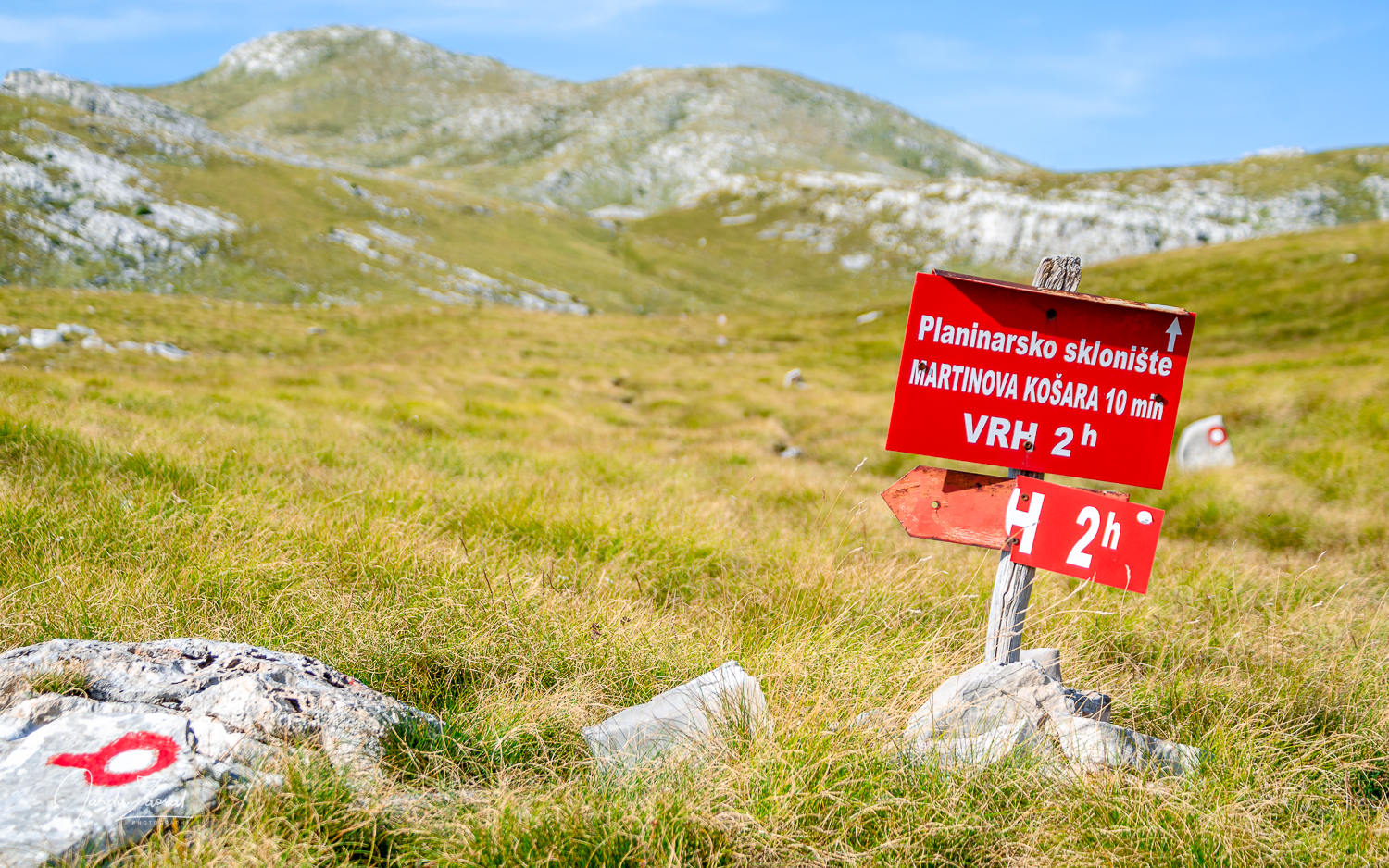
After the short break, we continued and soon reached a shelter for mountaineers in case of bad weather. However, it looked inside more like a dormitory for the homeless so I do not recommend sleeping here overnight. On the contrary, it might be a good idea to bring a tent. The surrounding meadows are beautiful.
Maps in Croatia don’t work 100%
Nearby the shelter there is a crossroad. My brother and I checked the map and decided to go straight. This path looked more attractive on the map, heading to a nice little church in the rock on the way. The problem was that the path ended after another 300 meters. We had two choices – to go 200 elevation meters down and head on to the left or continue up according to the map.
Since the route was marked on the map with the same thick line as the one on the left, we decided to continue. This made the journey more interesting. It was a fun off-road hike but my brother didn’t share this opinion and called me a few “beautiful” Czech words. In the end we overcame all obstacles on the way including bushes and rocks and we reached the peak successfully.
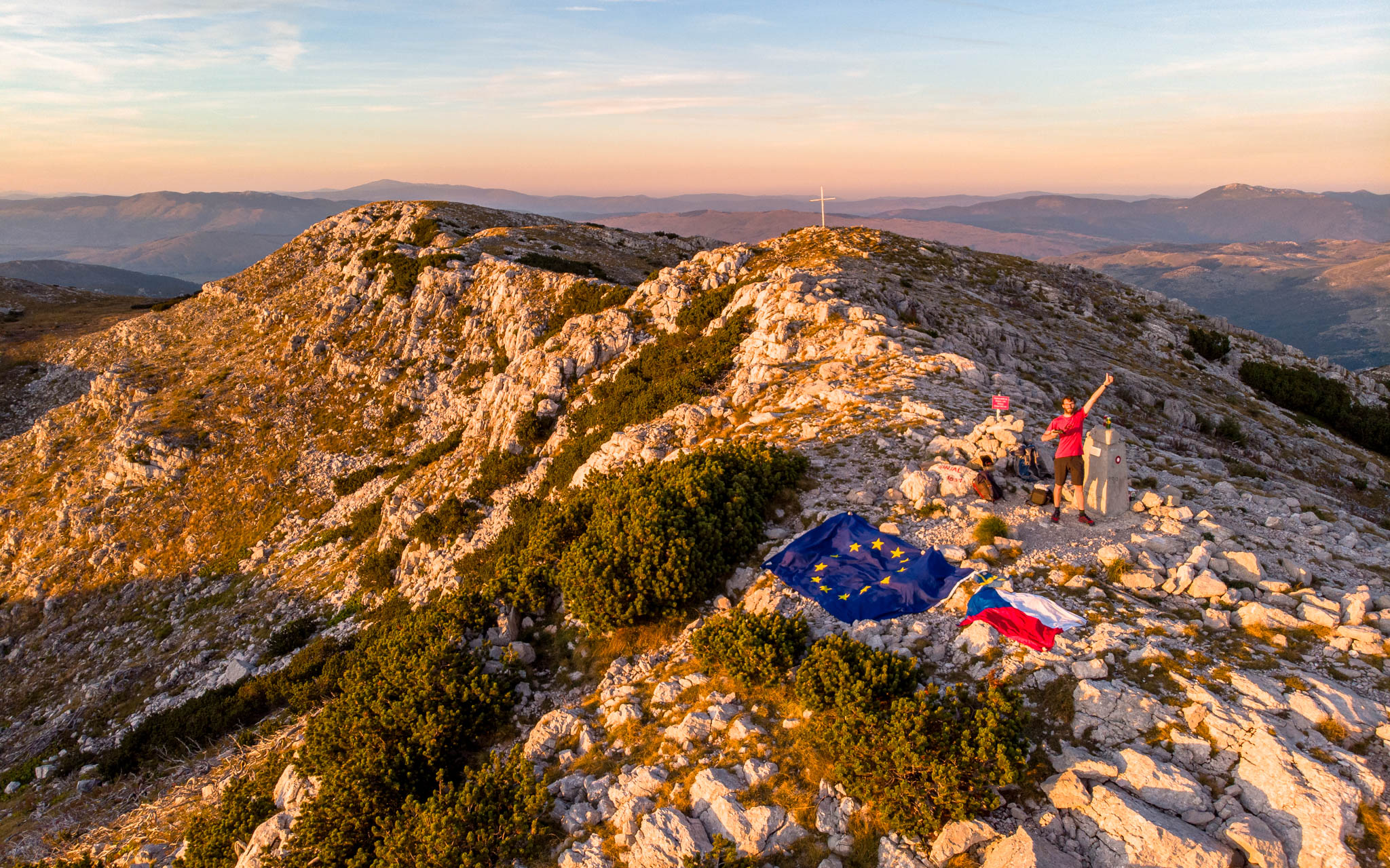
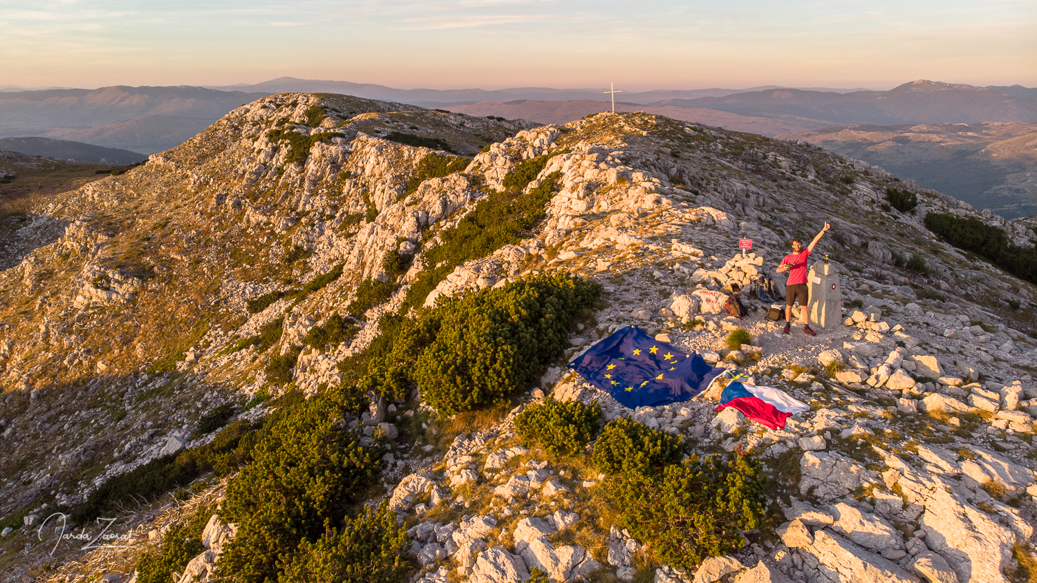
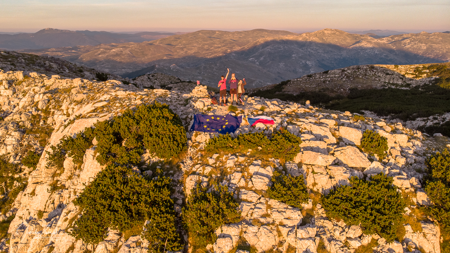
Despite the delay, we got up early enough to enjoy a beautiful sunset over the Adriatic Sea. I quickly pulled out the Czech flag to make a nice picture of the last mountain of the first part of my expedition European Peaks. Dinara was the last mountain of the whole EU which I managed to visit. We took a few pictures and celebrated the successful summit with the peak beer Karlovačko.
My tips for visiting the mountain Dinara:
- Take plenty of water with you, especially in summer. It is very hot in the Croatian mountains and there is only one water supply on the way.
- If you like biking you can also consider visiting mountain Sveti Jure (1,762 m) nearby the city Makarska. This mountain is reachable by bike from sea level and offers excellent views.